Alta Via
1
~120 km point-to-point Lago di Braies to Belluno, typically 8–10 walking days.
Duration
10 days
Route distance
120.0km
Vertical Gain
+7,300m
Max Altitude
2,752m
Mission Brief
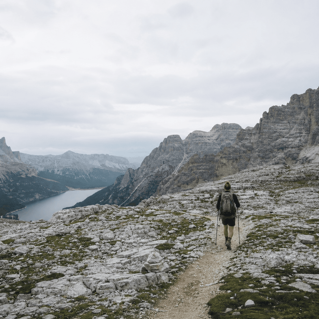
The Alta Via 1 is the mainstream Dolomites hut traverse: ~120 km from Lago di Braies to Belluno through Fanes–Sennes, Lagazuoi, and the Civetta sector on established Class 2 mountain paths.
Completing Stage 11 involves the Ferrata Piero Rossi on the Schiara requiring a ferrata kit and helmet, unless following the 13 km avoiding variant via paths 520/527/505. Cumulative gain (~7,300 m) and afternoon storm exposure on high plateaus define the effort more than technical climbing.
The standard Dolomites hut traverse—120 km of karst plateaus and rifugi. Stage 11 crosses the Ferrata Piero Rossi on the Schiara (ferrata kit and helmet), or take the 13 km avoiding variant via paths 520/527/505.
Mission Snapshot
Intensity Breakdown
Understanding what drives the overall route demand
Physical
75
Technical
68
Commitment
50
Primary driver: Physical load
- Sustained Physical Output
- Significant Vertical Gain
- Technical Terrain Exposure
- Multi-day Endurance Load
Advanced multi-day effort: heavy fatigue, logistics, or movement friction—not necessarily alpine exposure.
Full Route Breakdown
Complete stage overview with transparent route metrics. Values are shown as recorded in the route dataset and source links.
Distance
120.0 km
Ascent
7,300 m
Highest point
2,752 m
Start
Lago di Braies to Fanes
Finish
Civetta and Moiazza
Use the KM / MI toggle in the main menu to switch units.
Operational Reality
Itinerary phases cover ~120 km over 10 dossier days; exact rifugio-to-rifugio km varies by chosen variants. Not survey-grade GPS.
Route Considerations
Afternoon lightning on high plateaus and slippery limestone when wet—not sustained exposure scrambling on the standard line.
Afternoon thunderstorms
The Dolomites are famous for sudden, sustained afternoon thunderstorms that bring lightning risk on the high plateaus.
Impact
Route-specific
Likelihood
Context-dependent
Tip
Start daily stages at dawn; aim to reach your destination rifugio by 2 PM. If you hear thunder, descend from the high ridges immediately.
Unstable karst terrain
Descent from Lagazuoi to Passo Falzarego involves steep limestone gravel and rocky steps that can be slippery.
Impact
Route-specific
Likelihood
Context-dependent
Tip
Utilize trekking poles for joint stability and traction. Slow your pace during the steep descent from the Forcella Lagazuoi.
Terrain & conditions
Conditions change quickly on the ground. Slow down on wet rock and pay more attention where paths narrow or exposure increases.
Impact
Moderate
Likelihood
Variable
Tip
Refer to stage notes and expert briefings; maintain focus on slick or exposed sections.
Why hike this route?
LANDSCAPE
The sunset (Enrosadira) over the Civetta wall—a world-class geological phenomenon.
VARIETY
The contrast between the white karst Sennes plateau and the lush meadows of the Civetta region.
CULTURE & PLACE
Sampling the unique Ladin and Venetian culinary blends like Canederli and Polenta at high-altitude rifugi.
WHY GO
The standard Dolomites hut traverse—120 km of karst plateaus and rifugi. Stage 11 crosses the Ferrata Piero Rossi on the Schiara (ferrata kit and helmet), or take the 13 km avoiding variant via paths 520/527/505.
Expert Verdict
“The Alta Via 1 is a Class 2/3 alpine traverse that offers maximum scenic reward for moderate technical effort compared to the more exposed AV2. Its primary intensity stems from the cumulative altitude gain and rocky nature of the karst surfaces. Our intensity model accounts for its high elevation density—the 'Elevation Density Bonus' is fully engaged here due to the gain per km (60.8 m/km), placing the route in our very-hard band. Success is determined by early starts to avoid the peak afternoon storm window. The WWI tunnels at Lagazuoi provide an iconic alternative descent but require a headlamp.”
Who This Is For
- INTERMEDIATE — Comfortable with mountain topography and multi-day hiking. Fit enough for 6-8 hour days with 1,000m of gain.
- PHYSICAL — High. The 7,300m gain over 10 days requires good endurance, though light packs (hut bedding included) mitigate the load.
- WATCH FOR — Descending too fast from Rifugio Lagazuoi; the scree can be taxing on unconditioned knees.
- WATCH FOR — Underestimating the peak-lightning window between 1 PM and 4 PM on high ridges.
Compare This Route
See how this route compares to similar hikes in overall demand and terrain profile.Compare routes by the shape of the effort, not only the headline score.
Alpe Adria Trail
Closest overall match in demand profile
The Alpe Adria Trail is a long-distance hiking route from Kaiser-Franz-Jose...
Intensity
Lower intensityWilderness Coast Walk
Lower overall intensity, similar terrain type
The Wilderness Coast Walk is a remote, point-to-point coastal trek of rough...
Intensity
Lower intensityVictoria Peak Trail
Higher physical or technical demand
Belize's most demanding multi-day trek. Over three to four days you cover 2...
Intensity
Higher intensityExplore Alternatives
Broaden the picture with easier, harder, and nearby options.
Looking for something easier?
Lower intensity — helpful if this route feels like a stretch right now.
Want more challenge?
Higher intensity — for when you are ready for a bigger physical or technical step.
More hikes in this region
Nearby and regionally relevant routes for the next step in your search.
Via Ferrata Bocchette Centrali
brenta-dolomites · italy
Distance
18.0 km
Ascent
1,100 m
Selvaggio Blu
Sardinia (Gulf of Orosei) · italy
Distance
40.0 km
Ascent
4,000 m
Anello del Rinascimento
Tuscany (Florence) · italy
Distance
178.0 km
Ascent
4,500 m
Corno Grande
Abruzzo (Apennine Mountains) · italy
Distance
10.0 km
Ascent
780 m
The Sella-Herbetet Traverse
Aosta Valley (Gran Paradiso National Park) · italy
Distance
22.0 km
Ascent
1,150 m
Mount Etna Summit Craters
Sicily · italy
Distance
10.0 km
Ascent
500 m
Compare with any route
Pick any hike worldwide and open a full side-by-side comparison.
What You Need to Know
Essential answers about the demands, risks, and logistics of this route.
Q.How hard is this hike really?
Q.Do I need technical gear?
Q.Is water available on the route?
Q.What is the main risk?
Ready to hike Alta Via 1?
A final decision point after reviewing the route, risks, logistics, and alternatives.
This route is a strong match if you're comfortable with the effort level implied by an Intensity Score around 77/100 (Very Hard), sustained hiking where this route requires it, and the terrain and exposure described in this guide.
Looking for something easier, more challenging, or a different terrain profile?
Compare routes by intensity, terrain, and region.